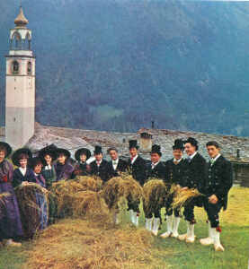
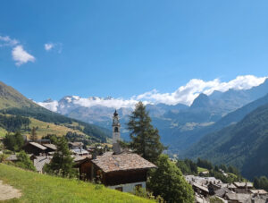
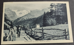
Its location, at the crossroads of various paths intersecting along the north-south and east-west axes, lay on the busiest and most convenient trade route connecting Ayas to Gressoney and onward to the territory of Alagna and the Duchy of Milan. Documents from the 17th century testify to the passage of livestock from the north and Lombard textiles from the south. Trade, driven by the Walser who had already settled in the Saint-Jacques-des-Allemands basin by the mid-13th century, remained flourishing until the arrival of the Little Ice Age in the 17th century, which hindered the various transit routes.
The Ferraro Refuge, inaugurated in 1932, is housed in a stone and wooden building bearing, carved on the entrance lintel, the construction date (1560) and the “number 4,” a mark of Germanic origin found in Valais, known in Ayas through only a few examples and widespread among the Walser communities of Gressoney and Valsesia.
A fresco depicts the popular legend of the hermit of Résy, a sort of ascetic who, according to tradition, lived in a cave, the Borna dè l’Ermétto, along the old path leading from Saint-Jacques to Alpe Ciarcerio (Alpage de Charchérioz or, in patois, Tcharchério).